Monday, July 25, 2016

#6 Hiking Around Reno/Tahoe


June 25th

Today's hike has to be labeled "most scenic".  It's the "Tunnel Creek loop" of the Tahoe Rim Trail on the Eastern ridge of Lake Tahoe.  The actual length is about 23 miles ending up at Spooner Summit, but we chose to only do a portion (6 miles total).  You start in the Tahoe Meadows off Hwy 431 for a walk in the woods.  Veer to the right and begin an ascent which is not really strenuous but will get your blood pumping until you reach the highest point on the ridge (around 8800 ft).  You are immediately rewarded with one of the prettiest views and for the hike along this ridge the views are king!

It might be worth mentioning that this trail is frequented by mountain bikes also, however they are limited to odd number days only.   Even though hikers have the right of way we normally pull to the side to let them pass especially if they are headed uphill!  It has to be hard to gain your momentum on a bike.

The trail skims the top of the mountaintop and winds around through the forest so there's always a chance of welcome shaded areas.   You even pass over a few creeks along the way!  The trail is littered with car size granite boulders, occasional wild flowers and spectacular views at every turn.  

I will do this again in it entirety perhaps in two days, splitting it up near the Tunnel Creek cafe.

It's hard to tell from the picture but these sure look like mountain lion prints!


 Views of the lake

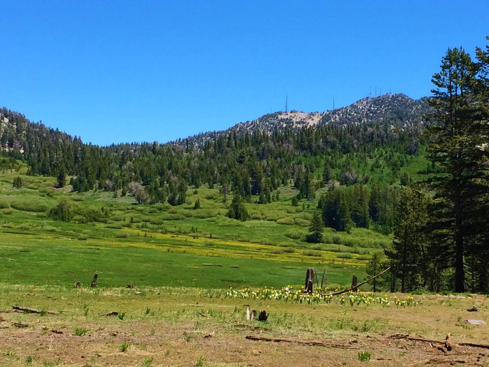
Beautiful meadow


Tuesday, July 5, 2016

#5 Hiking Around Reno/Tahoe


DRY POND VIA THOMAS CREEK TRAIL

What a difference hiking shoes make?  No more smashing toes as I head down the trail!  I "tested" them out on the way to Dry Pond via the Thomas Creek trail recently.   We set out on a crisp cool morning on a trail off Timberline Road.  The trail runs parallel to the Whites Creek trail which also ends up at Dry Pond completing a loop.

If ever there was a "perfect hike", this would be it.  The weather was mild, the trail was a nice blend of strenuous climbing in spots, but mostly shaded, an easy meandering trail with many switchbacks.  It begins hugging the creek with plenty of places for an impromptu picnic.  In some spots it looks like something from the Shire with dried cave-like looking reeds.  Along the length of creek is an occasional mini waterfall, wildflowers including edible wild garlic.  It's easy to see why there could be deer, bear and mountain lions in this habitat.  Wildlife smorgasbord.  I just don't want to be their main entree!

At mile marker approximately 1.5 miles the trails says goodbye to the water and rises back and forth until you reach the summit or Dry Pond area.  Grab a seat on a downed log, relax, have lunch and take in the beauty.  There's plenty of it!  You can continue the loop back or just turn around and retrace your steps, which is what we did.

We will definitely walk this trail again.   I can't wait to return in the Fall, should be ablaze with color this year!


Lion, cougars and bears, oh my!

Cool pools

View of Truckee meadows from one of many switchbacks.

The summit - Dry Pond

Photo op


I know he wants to put his feet in the water!


Sunday, June 26, 2016

#4 Hiking Around Reno/Tahoe


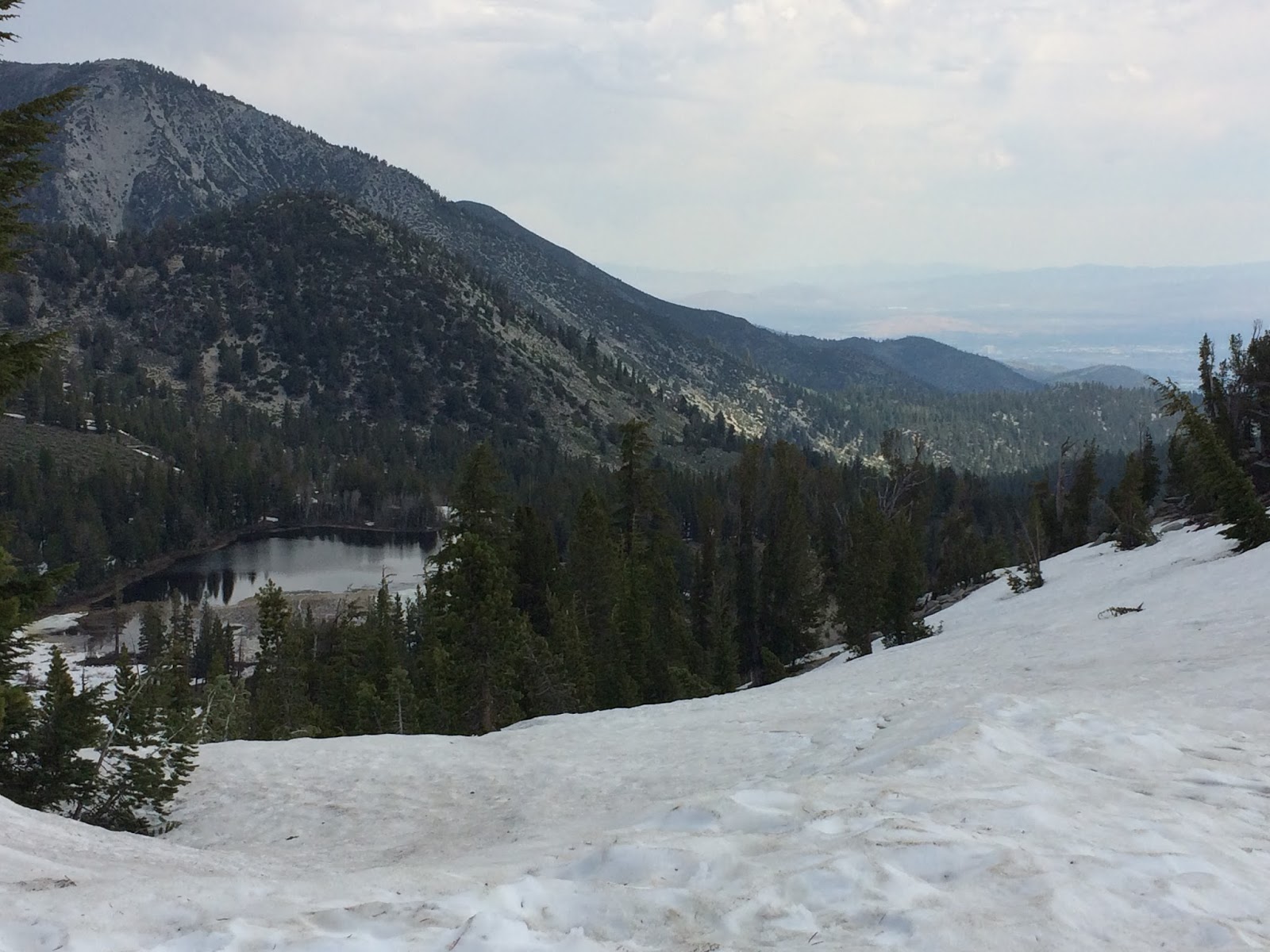
AN ATTEMPT AT MT ROSE SUMMIT One of the highest mountain peaks in the area for hiking is Mt. Rose.  With an elevation of 10,776 it's definitely on the bucket list and the "big daddy" of accomplishment in this area.  The hike is roughly 9.6 miles total up and back.  About halfway there, Galena Falls tumbles down granite slopes, or so I've been told.  We made the attempt a few weeks ago, but after a mile or so, we were trudging (slipping and sliding) in snow.  Back down the trail we went only to pursue it another day!

Even the Tahoe Meadows were snowy and too muddy!  What's a hikeaholic to do?  Find another trail to walk/climb.  I'm not sure if we found an actual trail.  it looked like a service road used by the power company, but it would do, maybe?  We climbed this for awhile and stopped for a picnic lunch, once again in the snow.  As we began our return to our car we noticed some suspicious foot prints crossing the "trail".  I remember researching an article about what type of animals we could encounter accompanied by pictures of  their footprints.  Not from a bear; that's good.  But, not a rabbit or domestic dog either!  Hmm....looks like mountain lion!  

After that I spent most of my hike in hyper vigilance wishing I had eyes in the back of my head.  It was a bit unsettling!  We put in the miles (not really enough that day) but, the views around Lake Tahoe are so majestic....I never get enough!


View within a mile of trailhead

Snow covered trail already!

Elevation over 9000ft

Lake Tamarack over the ridge

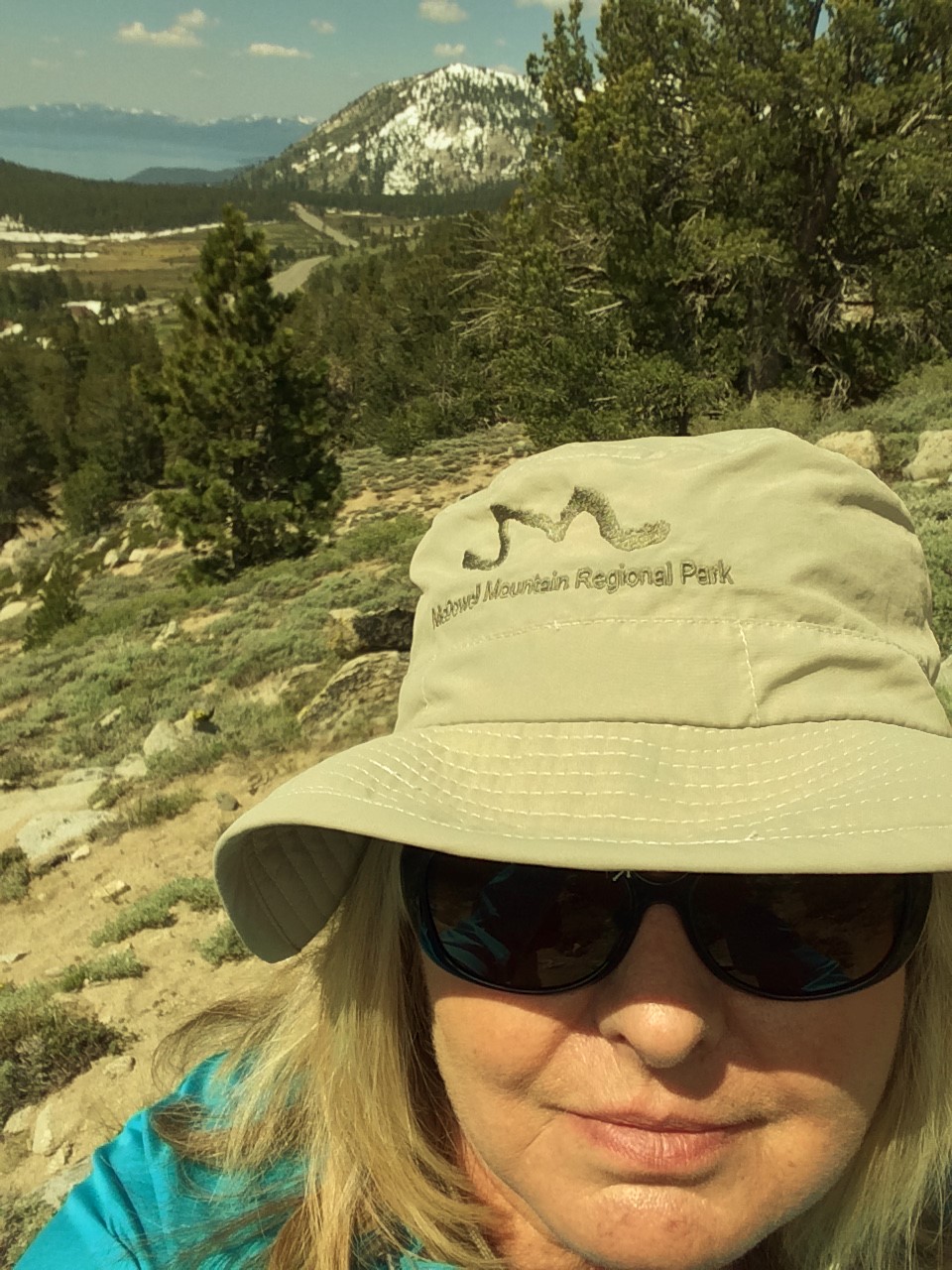
Not much into selfies, but I needed proof I was there!

Assuming this was a trail.  There is a lone bicycle track.

Always looking for the view!

Friday, June 17, 2016

#3 Hiking Around Reno/Tahoe


Yet another hike!  Hey, it beats sitting on the couch!  We chose Brown's creek "lollypop" loop which is right up the street.  A lollypop loop is a straight trail which loops at the end to make a lollypop.  Think tootsie roll pop!  What we thought was a 4.8 or so hike, turned out to be more like 6.1.  

Let's begin.  There is a parking lot across from the beginning of the trailhead which is off of Joy Lake Rd.  It began with a steady ascent through a canopy of shaded forest.  With all the rain we received this year wildflowers were in bloom and made the going beautiful.  As we made our way to the summit there was a "side trip" trail called Sundown Town.  Evidently, a group of investors had plans to make a theme park of sorts during the early 60's.  That's the first I had ever heard of this.   

Heading back to the main trail we veered off to the right and down into the canyon area where the Brown's Creek flows down from the mountain.  Ah, nice shady aspen groves!  That was the nice part.  After crossing the creek we began to climb again as did the temperature that day.  There seemed to be plenty of obstacles such as rocky trailbeds to maneuver and a lot of loose rocks to make your feet slide.   And slide I did, swearing with each step and vowing to buy some new hiking shoes that would grip better.

Brown's creek trail, to me, was becoming a nightmare of sorts and I began to question whether my feet and/or my knees would make it in one piece!  At the bottom of the trail which was a little over half way we crossed the creek once more and began our ascent back to the main trail.  With  the sun beating down on us by this time, the climb seemed to be a struggle, for me.  For hubby, not so much, so trying to stay at his pace was getting to me (and my attitude went sideways!).  I just wanted to get off this trail as soon as possible! 

Well, I'm here to tell you I survived this one.  Cross it off my list.  Done!   Later that evening at our friend's house for dinner our hike was mentioned.  My friend looked at me with scary eyes as she exclaimed to me that that was where the mountain lion hangs out!  Hmmm!  

  Would I do this hike again?  Maybe, just the first part, not the whole loop!  Stay tuned for more fun!  


 Did you know?

 Beautiful vistas

 More nice views

Wild morning glories?


Cool aspen grove - possible mountain lion/cougar country?

Friday, June 10, 2016

Hiking Around Reno/Tahoe #2


#2 Whitescreek Trailhead to Dry Pond

On our last hike to Church's Pond area we met a gal who suggested another jaunt up the adjacent mountain called Whites Creek loop with an optional cut-off to Dry Pond.  It wasn't supposed to be as strenuous or long.  I'm game.  So, again we packed a lunch, lots of water and set off on another hike.

We had hiked (more like a walk in the forest) this trail before which meanders next to the creek for about the first mile.  The upper portion, after approximately 1.1 miles, continues to the top and connects to Jones creek and Church's pond cut-off.  No thanks, I'll pass!  We decided to try the way to Dry Pond which was around 5 miles round trip.  How bad could it be?

Once you get to the bridge that crosses the creek,  you begin the ascent and encounter a few switchbacks until you reach the summit where the views are breathtaking.  The trail is narrow so you need to watch out for mountain bikers.   This time of year the wildflowers dot the landscape....lupines and Indian paintbrushes....beautiful!

We reached our destination without incident, enjoyed our lunch, relaxed a bit and began our descent.  Going down can be a little treacherous with all the loose gravel covering the trail, slip and slide time!  I would repeat this trail.  For me, it was the right amount of uphill.  (I didn't feel as if I was going to croak!)  Instead of going back the same way, you could continue the "loop" which leads to the adjacent creek, Thomas creek, but then you would need to backtrack to where you parked your car. 

I think I'm getting acclimated to higher altitude and uphill climbs.  We'll see...stay tuned for the next BIG HIKE!

Pictures never do the actual beauty justice.


On the narrow trail


At Dry Pond

Views towards Washoe Valley 


Majestic views

Whitescreek faux fishing